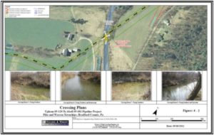
N&W has provided engineering design, environmental, permitting, and surveying services for 100+ miles of natural gas gathering lines. These projects required boundary and topographic survey, wetland delineations, cultural resources, geotechnical engineering, Right-of-Way acquisition, expedited ESCGP permit approvals, PA DEP Chapter 105 or USACE Joint Permit approvals, PennDOT Highway Occupancy Permits (HOP), construction stakeout, and construction documents. ArcGIS was utilized to develop scouting maps, to perform utility corridor analysis, graphics for permit documents, for graphics in all reports, to develop mapping to guide field crews, and as well as to develop Right-of-Way documents for landowners to execute. Post-construction a database was created and maintained to identify each of the constructed facilities with their location, size, material, operating pressure, class location, and lease boundaries.

